We have analyzed and tested GIS software based on factors such as analysis, mapping, editing, imaging, innovation, and support. Here are the detailed rules for evaluation:
Analysis: Vector/raster tools, spatiotemporal, geostatistics, network analysis, and scripting.
Mapping: Map types, coordinate systems, map layout/elements, labeling/annotations, 3D capabilities, animation, map automation, and symbol systems.
Editing: Table operations, feature creation/modification, geocoding, topology fixing, merging, interoperability, metadata editing, and catalog/browsing.
Imaging: Image classification, LiDAR integration, remote sensing tools, georeferencing, and photogrammetry.
Innovation: Machine learning, AI, IoT, indoor mapping, web mapping integration, and data science functionalities.
Support: Community/forums and documentation.
The overall user interface, speed, and the number of errors encountered while running the applications were also taken into consideration.
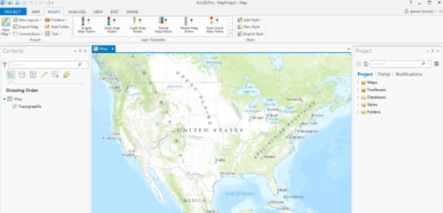
01. ArcGIS Pro
ArcGIS Pro modernizes GIS with its ribbon interface, 64-bit processing, and 3D integration. It is a major overhaul that focuses on speed, creativity, and mapping. Despite being a large machine with many moving parts, ArcGIS Pro stands out among the top GIS software.
Rating: 5.0 stars
Pros:
- Unified 3D integration
- Clear mapping and labeling
- True integration with ArcGIS Online
- Contextual intelligent ribbon interface
- 64-bit processing
- Improved and intuitive editing
- 1500+ geoprocessing tools (35 toolboxes)
Cons:
- High licensing costs
- Large project file size
- MXD conversion can miss all objects
- Steep learning curve
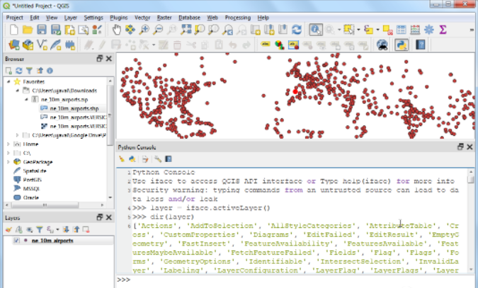
02. QGIS 3
QGIS 3 flows in the DNA of open-source. It breaks the mold of commercial GIS with excellent mapping, editing, and analysis tools. 3D is part of QGIS 3, and the QGIS plugins still provide almost limitless capabilities for analysis.
Rating: 4.7 stars
Pros:
- Dedicated volunteer community
- Smooth 3D integration
- Creative editing, analysis, and mapping tools
- Large user base and support
- QGIS plugins add functionality
- 64-bit processing
- Total of 900+ tools (25 toolboxes)
Cons:
- Lack of highly specialized tools
- Stability issues with 3D and LiDAR
- Limited web mapping capabilities
- Lagging behind emerging technologies
- Poor support for image classification like OBIA

03. ArcGIS Desktop
ArcGIS Desktop leads the GIS domain. It elevates the standard by doing what other GIS software cannot do. Its success lies in its scalability. From field applications to modeling and scripting, ArcGIS Desktop is a powerful suite of all GIS functionalities.
Rating: 4.6 stars
Pros:
- Scalability brings additional functionalities
- Reliable geoprocessing framework
- Beautiful cartographic symbol options
- Full suite of editing and topology tools
- Suitable for web maps and applications using ArcGIS Online
Cons:
- High usage and maintenance costs
- Basic licensing level brings limited tools
- Insufficient interoperability implementation
- Being phased out gradually in favor of ArcGIS Pro
- 32-bit application with ArcCatalog

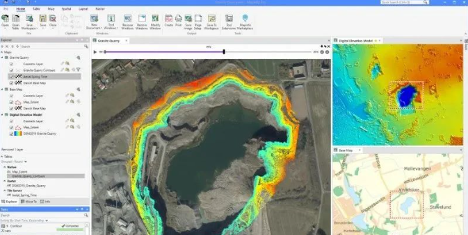
04. Hexagon Geomedia
Hexagon GeoMedia has a history of 40+ years but has experienced some decline recently. Nevertheless, Geomedia remains a reliable GIS software. Particularly when paired with ERDAS Imagine, it can be considered the best suite for remote sensing.
Rating: 4.4 stars
Pros:
- Fast querying and analysis
- Powerful mapping with intelligent labeling
- Remote sensing with ERDAS Imagine
- Versatile mapping with various layouts
- Excellent editing with intelligent snapping
- Mature software with 40+ years of history
Cons:
- Confusing license tiers
- Small user community for problem-solving
- Inability to drag and drop files into GeoMedia
- Poor interoperability with other GIS formats
- Slow database connections

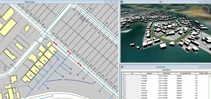
05. MapInfo Professional
MapInfo Professional is all about location intelligence. Like GeoMedia, it's a story of a competitor losing market share. But don't be fooled. MapInfo Professional is still a comprehensive GIS software suite, with a stronger focus on business decision-making.
Rating: 4.3 stars
Pros:
- Easy to use and 64-bit processing
- Improved table management with querying and enhancements
- Powerful addressing and geocoding
- Side-by-side mapping
- Enhanced visualization integration
- Intelligent navigation based on functional areas
Cons:
- Poor interoperability and format support
- High licensing costs
- Lack of cloud-based platform
- Limited functionality for online web maps
- Poor support for remote sensing analysis

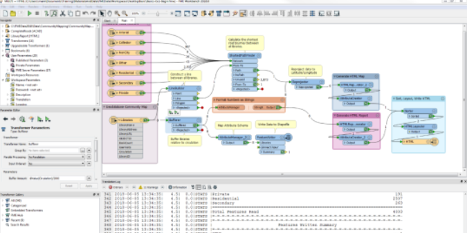
06. FME
FME is incredibly powerful and has a surprisingly active community. In fact, its annual world tour is an explosive event.
Rating: 4.2 stars
Pros:
- Powerful and endless transformers
- Data interoperability expert
- Active user community
- Extensive documentation
- FME Server and FME Cloud
- Ahead of the curve with emerging technologies
Cons:
- Poor traditional mapping display in FME Data Inspector
- License levels and costs
- Lack of editing and capturing tools
- Limited functionality for web maps and applications
- Poor support for remote sensing classification and analysis

07. Global Mapper
Global Mapper is like a "Swiss Army knife" in GIS analysis. It's easy to get started with, but at the same time, it offers incredible flexibility. For example, it has powerful LiDAR and hillshade displays, all within a 64-bit application.
Rating: 4.1 stars
Pros:
- Powerful LiDAR display and processing
- Readability of numerous formats
- Advanced elevation manipulation tools
- 64-bit with a user-friendly interface
- Publishing web maps via Mango Maps
Cons:
- Cost-effective but not open source
- Subpar symbolization and print layout
- Weak editing tools
- Inability to build web maps and applications
- Lack of support for emerging technologies

08. QGIS 2
QGIS 2 is one of the largest community-driven efforts and open-source advancements in GIS history. Being community-driven, it has become highly innovative and creative. Although QGIS 2 is entirely open source, it can still compete with the best. However, full support has now shifted to QGIS 3.
Rating: 4.1 stars
Pros:
- QGIS GPL license provides freedom
- Beautiful label options
- Extensive GIS analysis tools
- Amazing data interoperability
- Plugin extension capabilities
- Large user community and online support
Cons:
- Lack of 3D integration (only as a plugin)
- Issues with the graphical modeler
- Light tools for topology errors
- Few metadata standards
- Limited support for LiDAR and remote sensing classification

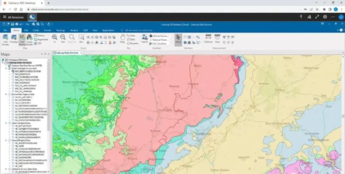
09. Cadcorp
Cadcorp integrates GIS and CAD into a single application. It adds rich functionality to mapping and styling in an almost perfect way. With features like a ribbon interface, interoperability, and developer tools, Cadcorp shines on multiple levels, especially when combined with server and cloud tools, which are relatively unknown.
Rating: 4.0 stars
Pros:
- Intuitive ribbon interface for desktop GIS
- Building Cadcorp SIS web maps
- Hosting and delivering data in the cloud
- Developing web applications using servers
- Customizable developer tools available
- Cadcorp SIS Express is read-only and free to use
Cons:
- Lack of support community forums
- Limited remote sensing tools
- New products with little background information
- CAD/GIS expertise but lacks in other areas

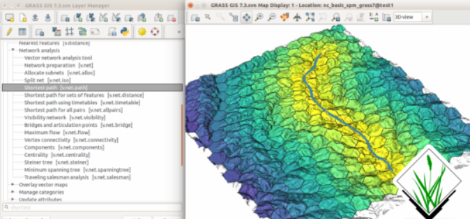
10. GRASS GIS
GRASS GIS is one of the suites that lets you do geoprocessing until dusk. It's like a loaded gun with complex tools. It's so powerful that you can unleash GRASS GIS as a separate toolbox within QGIS. However, its clunky interface and stubborn map projection rules hinder its development.
Rating: 3.9 stars
Pros:
- Top-notch geoprocessing with 350+ modules
- LiDAR and network analysis
- Extensive documentation and tutorials
- Free and open source
- Advanced satellite imagery tools
- 3D raster rendering and customization
- Well-documented
- Raster, vector, imagery, and temporal tools
Cons:
- Clumsy user interface and peculiar toolbar placement
- Defining startup predictions
- Steep learning curve for beginners
- Not suitable for cartography and mapping
- Command-line window running in the background
- Handling coordinate systems for different locations