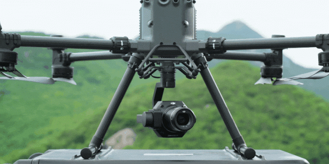
Gis Mapping Case Study: Utilizing Unmanned Aerial Vehicles for Urban Reality Mapping - A City-scale 3D Modeling Project
Enterprise Gismaker Revolutionizing Reality Mapping: Transforming Dongguan City Gis 3D with DJI's Aerial Mapping Solution Unleashing the Power of Reality Mapping in China's Megacity In the realm of reality mapping, where authenticity meets innovation, the applications are boundless. Imagine a world where digital cities, urban planning, traffic management, public safety, and even life planning find …
