
Exploring GIS on Your Smartphone: Surprising Mobile Versions of Common GIS Software
Exploring GIS on Your Smartphone
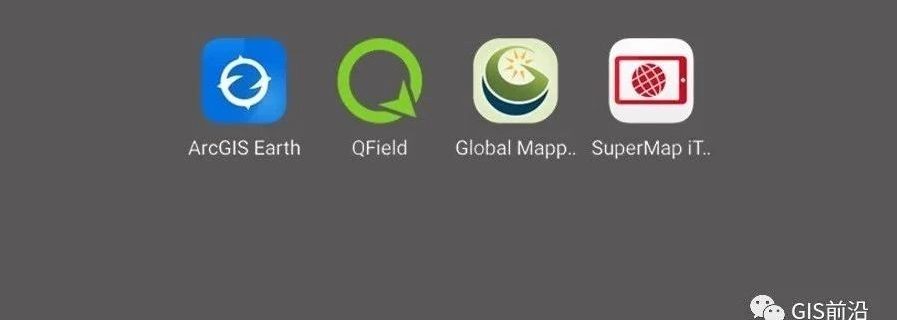
Exploring GIS on Your Smartphone

使用 ArcGIS Pro全球范围地形渲染图效果进一步升级,更换数据源,优化以往的表达错误!

I'm having trouble downloading HD historical image data using QGIS and need your help!

We Having previously rounded up the 10 best GIS software that, Today we summarize the 13 free GIS software, to get us through these 13 software in the open source draw a map of the world. 01 QGIS 3 When QGIS released a new version, it caused quite a stir straight away. Because the …

GIS's hottest tool is updated again!

Enterprise Gismaker Revolutionizing Reality Mapping: Transforming Dongguan City Gis 3D with DJI's Aerial Mapping Solution Unleashing the Power of Reality Mapping in China's Megacity In the realm of reality mapping, where authenticity meets innovation, the applications are boundless. Imagine a world where digital cities, urban planning, traffic management, public safety, and even life planning find …

Keywords: GIS, US 2020 election, accessing election data, utilizing election data,democratic The availability and utilization of GIS data have revolutionized the way we analyze and understand the US 2020 election. By leveraging geospatial information, researchers, policymakers, and campaign strategists can gain valuable insights into voter behavior, electoral patterns, and demographic trends. Accessing and effectively utilizing …

Introduction: Welcome to the immersive world of Geographic Information Systems (GIS)! In this captivating tutorial, we will delve into the intricacies of procuring the authentic version of ArcGIS, including both ArcGIS Pro and ArcGIS Desktop, by leveraging ESRI's unified global purchase approach. Embark on this enlightening journey as we navigate the realm of GIS expertise …
Read more "Mastering GIS: Unlocking the World of ArcGIS with ESRI's Unified Global Purchase Method"