Today, we'd like to introduce you to mobile versions of several commonly used GIS (Geographic Information System) software that we frequently use in our work. You might be surprised to learn that these GIS apps are available for smartphones!
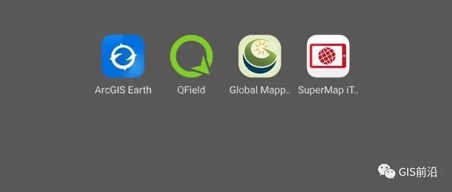
In this compilation, we have gathered mobile apps for ContextCapture, Pix4D, ArcGIS, Global Mapper, QGIS, MapGIS, SuperMap, and RealityScan. It's worth noting that ContextCapture has been rebranded as "iTwin Capture Modeler," and its mobile version is now known as "iTwin Capture Mobile."

▐ iTwin Capture Modeler(ContextCapture)
iTwin Capture Mobile utilizes Bentley's ContextCapture cloud processing service to swiftly generate and showcase real-world 3D models.
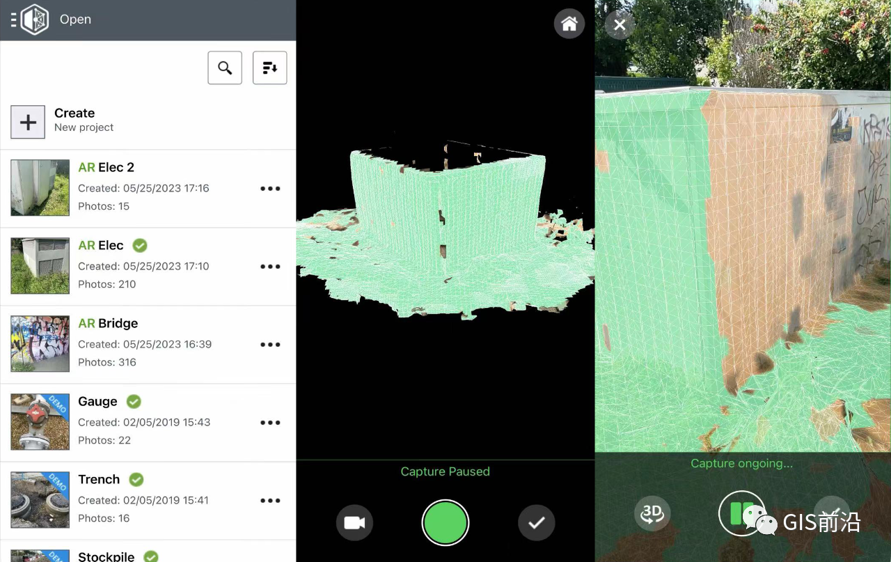
The app's interface is clean and user-friendly, primarily focused on taking photos, uploading them, setting actual distance links, and generating models.
For more details, you can check out the official promotional video.
▐ ArcGIS
ESRI has released several apps, including navigation, educational, photographic, and various utility tools. Among them, ArcGIS Earth stands out as a familiar and practical choice. When Google Earth isn't available, many users recommend ArcGIS Earth.

ArcGIS Earth allows you to:
- Browse online satellite imagery in 3D.
- Import KML/KMZ and local scene data.
- Create, edit, and share markers.
- Use interactive analysis tools, including basic measurements, line of sight analysis, and viewshed analysis. However, it lacks annotations when viewing satellite imagery, which can be challenging for specific location searches.
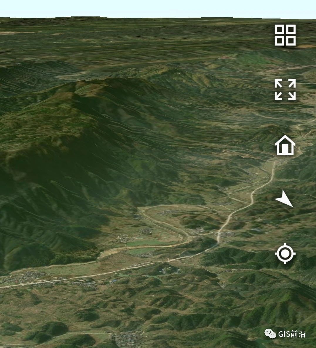
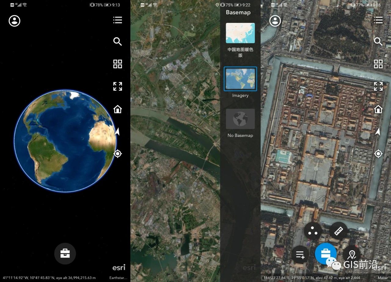
Overall, ArcGIS Earth serves as a suitable alternative when Google Earth is not an option.
Pix4Dcatch simplifies the creation of ground-based 3D models using mobile devices. For devices equipped with LiDAR sensors, real-time 3D grid scanning captures scene data. Images are automatically uploaded to the Pix4D cloud, where 3D models with geographic references, point clouds for measurement, sharing, and export, are rapidly generated.
▐ Pix4Dcatch
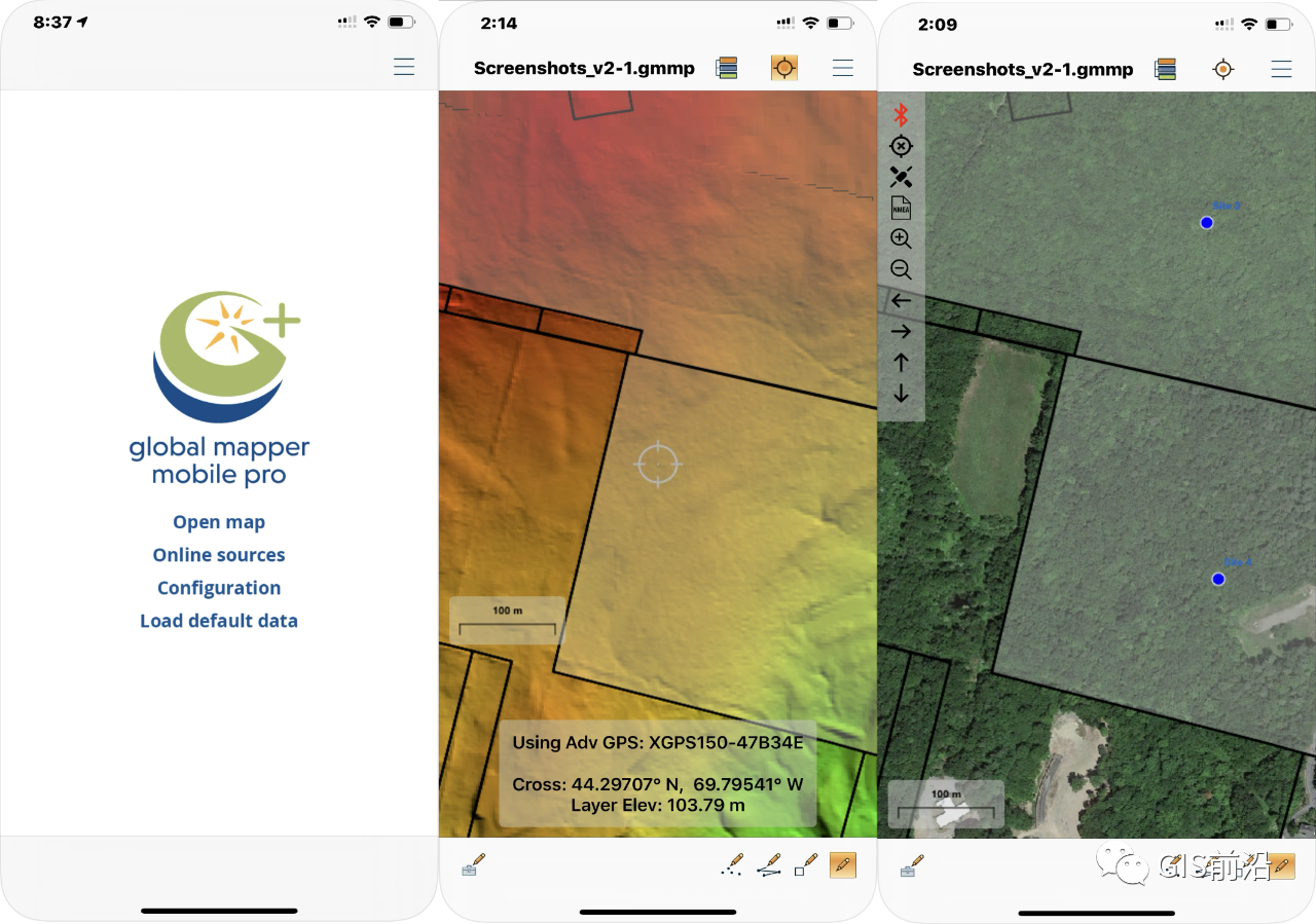
▐ Global Mapper Mobile

Global Mapper's mobile version comes in basic and professional editions, with the latter requiring a purchase. The basic version can be downloaded for free from the App Store for iOS or the Global Mapper Mobile website for Android.
Key features include importing image and vector data, GPS field data collection, digitizing, feature attribute management, creating photo points with geotagged pictures, and accessing OpenStreetMap data online.
▐ QField

QGIS Mobile, known as QField, is compatible with QGIS and supports various formats, including QGIS project files, SQLite-based geopackages, GeoJSON, KML, GPX, shapefiles, GeoTIFF, GeoPDF, WEBP, and JPEG2000 raster datasets. It also integrates with online OpenStreetMap data.
▐ MapGIS Mobile
MapGIS offers two functional apps: MapGIS Mobile Explorer and MapGIS Mobile Collector. These apps can only be downloaded from the MapGIS cloud platform, providing rich geographical and spatial information services and enabling the development of custom mobile applications with the SDK.
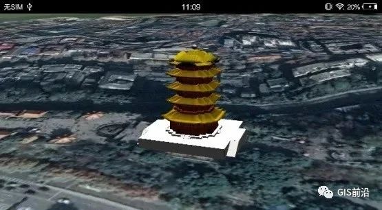
▐ SuperMap
SuperMap's range of apps covers everything from cartography to 3D data display and AR (Augmented Reality). SuperMap iTablet supports map browsing, thematic map creation, AR maps, data processing, and 3D scene modeling.
SuperMap iTablet

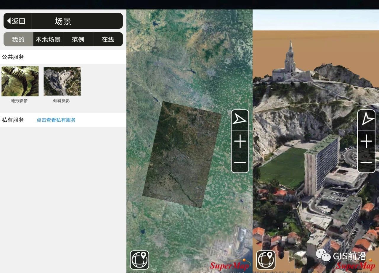
SuperMap iEarth allows for inclined photography modeling data browsing and single object functionality. Previously, SuperMap had another fun app, SuperMap 3D AR, which combined GIS, AR, and BIM but is no longer available.
SuperMap iEarth
You can download these three SuperMap apps from the App Store and the application market.
Lastly, if you're interested in creating models from photos, check out RealityScan, developed by Capturing Reality, a photogrammetric solutions provider. Like iTwin Capture Mobile, RealityScan uses cloud processing to transform photos into high-fidelity 3D models, which can be directly uploaded to Sketchfab.
▐ RealityScan
No responses yet