We Having previously rounded up the 10 best GIS software that, Today we summarize the 13 free GIS software, to get us through these 13 software in the open source draw a map of the world.
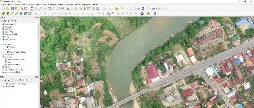
When QGIS released a new version, it caused quite a stir straight away. Because the unsung hero of open source GIS software is back! This is their third major release: QGIS 3 QGIS 3 has open source "in its blood". It has been "genetically" customized to break the commercial GIS model. Not only is it open source, but QGIS plug-ins have incredible capabilities. QGIS 3 is the most innovative version. For example, it brings a whole new set of mapping, 3D and all its conveniences. It is the only open source GIS software that can compete with ArcGIS Pro. Although the first place is QGIS 3, QGIS 2 has the ability to take the second place! QGIS is a user-friendly desktop GIS that runs on Linux, Unix, Mac OSX and Windows etc. QGIS is a user-friendly, cross-platform, open source desktop GIS based on Qt and developed in C++. Supports a variety of GIS data file formats . Through the GDAL/OGR extension can support up to dozens of data formats , support for PostGIS database , support for data from WMS, WFS server , integrated part of the Grass function and so on
GRASS GIS (Geographic Resources Analysis Support System) was developed by the U.S. Army Corps of Engineers as a tool for land management and environmental planning GRASS GIS is used in academic and commercial environments all over the world, and is also noticed by many government departments and environmental consulting companies. GRASS GIS is an official project of the Open Source Geospatial Foundation (OSGeo). It has over 350 vector and raster manipulation tools. GRASS GIS is not very advantageous in cartographic design, it is mainly used for analysis, image processing, digital terrain manipulation and statistics, and it performs well in free GIS software.
Whitebox GAT is a powerful open source geospatial analysis tool that can be used in a variety of remote sensing applications. It is available as a standalone application or as a library for other software. In short, Whitebox GAT contains an advanced toolbox for processing remote sensing data. Its extensive function library makes it an excellent choice for anyone who needs to perform various tasks on data. Whitebox GAT has more than 410 tools to process various data, such as transformation, analysis, management, buffering and extraction, etc., the most outstanding of which is LiDAR data processing
gvSIG is a free and open source software widely used for geographic data analysis, remote sensing and geospatial modeling. For remote sensing analysis, GvSIG provides tools and functions to support the capture, processing and analysis of satellite data. It has extensive functionality for processing a wide range of remote sensing data formats and provides advanced tools for geo-alignment, ortho-correction and mosaicking
What was once commercial GIS software is now open source GIS. It was developed by ITC in the Netherlands and is used in a variety of applications including land use planning, land cover analysis, soil mapping, water management, environmental monitoring, and more. Additionally, it is used in remote sensing, with tools for image classification, enhancement, and spectral band processing
SAGA GIS (System for Automated Geoscience Analysis) is one of the classics of free GIS software. It is mainly used for terrain analysis such as mountain shading, watershed extraction and visibility analysis. Nowadays, SAGA GIS has become a powerful organization! It offers a user-friendly GUI and API. it is not particularly useful in cartography, but it is a savior for terrain analysis.
GeoDa is a free GIS software program primarily for spatial data analysis. From simple box plots all the way to regression statistics, GeoDa has a complete statistical database for almost anything spatially. It has a strong user base. For example, Harvard, MIT, and Cornell all use this free GIS software for everything from economic development to health and real estate, and GeoDa is also used for laboratory analysis. GeoDa now supports vector data in a variety of different formats: it is possible to use shapefiles, geodatabases, GeoJSON, MapInfo, GML, KML and other vector data formats supported by the GDAL library
MapWindow is a desktop GIS that can be expanded by applying plug-in architecture, which applies MapWinGIS mapping control and is built from scratch in 2015 by applying new technologies such as MEF and DependencyInjection to make its size filial full-featured and faster
u stands for user-friendly interface
D is for Desktop (Windows, Mac or Linux). You can run uDIG on a Mac.
I for Internet-oriented consumer standards (WMS, WFS or WPS)
G is for GIS with sophisticated analytics.
uDig is an open source (EPL and BSD) desktop application framework, built on Eclipse RCP and GeoTools (an open source Java GIS toolkit) on the desktop GIS (geographic information system); is an open source desktop GIS software, based on the Java and Eclipse platforms, you can do shp format map file editing and viewing ; is an open source spatial data viewer/editor of the OpenGIS standard , about the Internet GIS, web map servers and web-enabled servers have special enhancements . uDig provides a general java platform to build spatial applications with open source components
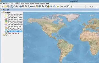
OpenJUMP predecessor is JUMP GIS project, JUMP name for the abbreviation of Java Unified Mapping Platform, originally developed by the Canadian GIS company Vivid Solutions and Refractions Research. Both companies are known for providing Java GIS solutions and have contributed the Java spatial analysis library JTS and the general-purpose Java GIS platform uDig, respectively, to the open source GIS community.
FalconView was originally intended to be a free and open source GIS software. Georgia Tech built this open software to display various types of maps and georeferenced overlays.
Today, the majority of FalconView's users come from the U.S. Department of Defense and other national geospatial intelligence agencies.
It can perform processing such as noise mapping or hydrology without any add-ons.Orbis GIS plug-ins are available, but are currently very limited.
- END -
Lastest Post
No responses yet